
Thunderstorms are giant heat engines powered by rising moist air. Every one produces lightning, but only some become supercells, hail factories, flash-flood machines, or tornado producers. A single storm cell may live less than an hour, while organized systems can keep rebuilding for many hours. These 145 thunderstorm facts explore clouds, updrafts, lightning, thunder, hail, supercells, radar, gust fronts, safety, aviation, forecasting, and severe weather science.
Thunderstorm basics
- A thunderstorm is a convective storm that produces lightning and therefore thunder.
- Every true thunderstorm contains electrical activity.
- Rain is common but does not always reach the ground.
- Thunderstorms usually grow from cumulonimbus clouds.
- They can occur during every season.
- They can happen during the day or night.
- Warm seasons favor thunderstorms in many regions because moisture and instability are often greater.
- Winter thunderstorms are possible.
- Thunder can even accompany heavy snow.
- Moisture is one basic ingredient for thunderstorm development.
- Atmospheric instability is another.
- A lifting mechanism helps start air moving upward.
- Fronts, mountains, sea breezes, and old storm boundaries can provide lift.
- Thunderstorms redistribute heat, moisture, and momentum through the atmosphere.
- The National Weather Service defines a thunderstorm by the presence of lightning, not by how heavy the rain looks.
The three-stage life cycle
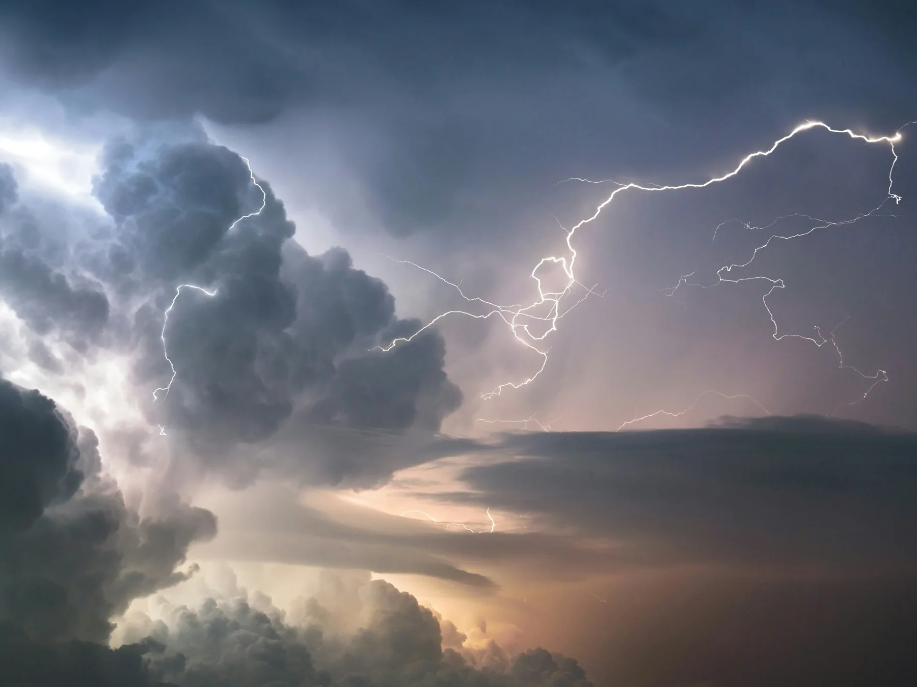
- A typical single thunderstorm cell passes through developing, mature, and dissipating stages.
- The developing stage is dominated by an updraft.
- Warm moist air rises and cools.
- Water vapor condenses into cloud droplets.
- Condensation releases latent heat.
- That released heat can make the rising air even more buoyant.
- The cloud grows upward into towering cumulus.
- Rain may be limited during the earliest stage.
- The mature stage begins when precipitation creates a downdraft.
- Updrafts and downdrafts then exist together.
- The mature stage is generally the most hazardous part of an ordinary cell’s life.
- Heavy rain, hail, lightning, and strong wind are most likely then.
- Eventually the downdraft spreads through more of the cloud.
- The storm loses its supply of warm rising air and dissipates.
- A typical isolated cell may complete this cycle in roughly 30 to 60 minutes.
Storms can tower into the stratosphere
- Mature cumulonimbus clouds commonly reach many kilometers above the ground.
- Strong storms can rise to 40,000 to 60,000 feet or higher.
- The top often reaches the tropopause.
- The tropopause is a stable boundary between the troposphere and stratosphere.
- Rising air spreads sideways when it reaches this stable layer.
- That spreading ice cloud forms the classic anvil.
- Upper-level winds can stretch an anvil far downwind.
- Lightning can occur beneath or near an anvil far from the heaviest rain.
- Very powerful updrafts can punch temporarily above the main anvil.
- This feature is called an overshooting top.
- Satellite imagery can detect overshooting tops.
- Their presence can signal intense convection.
- Cumulonimbus clouds contain liquid droplets, supercooled water, snow, graupel, and ice crystals at different heights.
- The mixed-phase region is especially important for thunderstorm electrification.
- A thunderstorm is a vertical atmospheric system, not merely a dark cloud on the horizon.
Lightning makes thunder
- Lightning heats a narrow channel of air extremely rapidly.
- The sudden heating causes the air to expand explosively.
- That pressure wave becomes thunder.
- Light travels far faster than sound.
- That is why people see a flash before hearing the thunder.
- About five seconds between flash and thunder corresponds roughly to one mile of distance.
- Three seconds is roughly one kilometer.
- A long rumble comes from sound arriving from different parts of a long lightning channel.
- Nearby thunder can sound like a sharp crack.
- Distant thunder often loses its highest frequencies first.
- Terrain and atmospheric layers can refract or block thunder.
- If you can hear thunder, lightning is close enough to be dangerous.
- Lightning can strike outside the main rain shaft.
- So-called bolts from the blue can travel outward from a storm before reaching ground.
- Going outside because the rain has not arrived yet can therefore be a dangerous mistake.
Hail grows inside powerful updrafts
- Hail forms in thunderstorms with strong upward motion and supercooled liquid water.
- A small ice particle acts as a hail embryo.
- Supercooled droplets freeze onto it.
- The hailstone grows as it travels through regions containing liquid water and ice.
- Strong updrafts can keep larger stones suspended longer.
- Hail does not need to cycle neatly up and down many times to grow.
- Its path through turbulent airflow can be complicated.
- Layers inside a hailstone record different growth conditions.
- Clear ice can form when liquid spreads before freezing.
- Cloudier ice can contain trapped air bubbles.
- Large hail is strongly associated with severe thunderstorms.
- Supercells are especially capable of producing giant hail.
- Hailstones eventually fall when gravity and downward forces overcome the supporting updraft.
- Large hail can damage roofs, crops, vehicles, aircraft, and animals.
- A summer thunderstorm can produce ice even when surface temperatures are hot because the cloud extends into freezing air aloft.
Supercells rotate
- A supercell is a highly organized thunderstorm with a persistent rotating updraft.
- That rotating updraft is called a mesocyclone.
- Strong vertical wind shear helps create supercell rotation.
- Wind shear means wind speed or direction changes with height.
- Horizontal rolling motion in the lower atmosphere can be tilted upright by a strong updraft.
- A rotating updraft can remain separated from the storm’s main downdraft.
- That separation helps the storm survive much longer than an ordinary cell.
- Some supercells last for several hours.
- They can produce large hail.
- They can produce destructive straight-line winds.
- They are responsible for many of the strongest tornadoes.
- Not every supercell produces a tornado.
- Low-precipitation supercells may have little visible rain near the updraft.
- High-precipitation supercells can hide tornadoes behind heavy rain.
- Supercells are uncommon compared with ordinary thunderstorms but account for a disproportionate share of extreme convective weather.
Storms organize into lines and clusters
- Many thunderstorms occur as multicell clusters rather than isolated cells.
- One cell can weaken while a new cell grows beside it.
- The overall cluster can last for hours.
- Thunderstorms can also organize into long lines.
- These lines are often called squall lines or quasi-linear convective systems.
- Cold outflow from thunderstorms can form a gust front.
- The gust front behaves like a miniature cold front.
- It can lift warm air and trigger new storms.
- Shelf clouds often form along leading outflow boundaries.
- A shelf cloud is not itself a tornado.
- Damaging wind can occur behind a dramatic shelf cloud.
- Bow echoes are radar signatures associated with bulging segments of fast-moving storm lines.
- Some long-lived windstorms are classified as derechos when they meet specific distance and damage criteria.
- Mesoscale convective systems can cover huge areas and persist overnight.
- A thunderstorm complex can therefore outlive every individual cell inside it.
Downbursts can mimic tornado damage
- Thunderstorm downdrafts can accelerate toward the ground.
- When a strong downdraft hits the surface, air spreads outward rapidly.
- This event is called a downburst.
- A small intense downburst is called a microburst.
- Downbursts can produce winds strong enough to damage buildings and trees.
- The damage can be mistaken for tornado damage.
- Tornado winds rotate around a circulation.
- Downburst winds generally spread outward from an impact area.
- Evaporative cooling can strengthen descending air.
- Melting hail can also cool a downdraft.
- Heavy precipitation adds downward drag.
- Microbursts are especially dangerous to aircraft near takeoff and landing.
- An aircraft can first encounter a headwind that increases lift.
- Seconds later it can meet a downdraft and tailwind that sharply reduce performance.
- Modern airport wind-shear detection systems were developed partly because of deadly historical microburst accidents.
Radar lets meteorologists see inside storms
- Weather radar sends pulses of radio energy into the atmosphere.
- Raindrops, hail, snow, insects, and other targets return some energy to the radar.
- Reflectivity estimates how strongly targets return the signal.
- Higher reflectivity can indicate heavier precipitation or hail.
- Doppler radar measures motion toward or away from the radar.
- That velocity information helps meteorologists identify rotation.
- Tight adjacent inbound and outbound velocities can signal a strong circulation.
- Dual-polarization radar sends waves in horizontal and vertical orientations.
- This helps distinguish rain, snow, hail, and nonmeteorological debris.
- A tornado debris signature can appear when radar detects lofted objects.
- Radar beams rise higher above the ground with distance because of Earth’s curvature and beam geometry.
- That makes very low-level features harder to sample far from radar sites.
- Satellites provide a complementary view of storm tops and cloud evolution.
- Surface observations and weather balloons reveal the environment storms are entering.
- Severe-weather forecasting combines all of these tools rather than relying on one colorful radar image.
Ten surprising thunderstorm facts
- Every thunderstorm produces lightning, even when lightning is hidden inside the cloud.
- A single ordinary storm cell may live only 30 to 60 minutes.
- The same storm complex can survive for hours by repeatedly creating new cells.
- Thunderstorm tops can rise into the neighborhood of commercial jet cruising altitudes and far above them.
- Hail can form on a hot summer day because the upper storm is below freezing.
- A supercell is defined by its persistent rotating updraft, not simply by being very large.
- A shelf cloud is not a tornado.
- A microburst can create damaging winds without any tornado at all.
- Dry thunderstorms can start wildfires when lightning reaches the ground but rain evaporates before arriving.
- For more storm science, explore our lightning facts, cloud facts, and tornado facts.
Quick thunderstorm FAQ
What makes a thunderstorm?
Moisture, instability, and a lifting mechanism allow warm air to rise rapidly into a deep convective cloud that becomes electrically active.
How long does a thunderstorm last?
An ordinary single cell often lasts 30 to 60 minutes, while multicell systems, squall lines, and supercells can persist much longer.
What is a supercell?
A highly organized thunderstorm containing a persistent rotating updraft called a mesocyclone.
Can there be thunder without rain?
Yes. Rain may evaporate before reaching the ground, or lightning may occur in a part of the storm where the observer receives little precipitation.
Is a shelf cloud a tornado?
No. A shelf cloud forms along thunderstorm outflow and can signal strong straight-line wind, but it is not a rotating tornado funnel.

Ellie is the owner and sole author of Fun Facts, combining her mechanical engineering background with years of research-driven writing to deliver facts you can trust. Every article is thoroughly fact-checked and routinely updated as new science and sources emerge to keep information accurate and current. Her mission is to make learning delightful while upholding high standards of reliability and transparency.