
Clouds can weigh hundreds of tons without falling like rocks, exist as liquid droplets below freezing, grow into towers taller than Mount Everest, create halos, hide aircraft icing, seed rain, and even form from wildfire smoke or industrial activity. Meteorologists classify them with a system containing ten official genera, then add species, varieties, and special features. These 145 cloud facts explore condensation, droplets, ice crystals, cloud names, cirrus, cumulus, stratus, thunderstorms, lenticular clouds, mammatus, fog, precipitation, aircraft, climate, artificial clouds, and the physics behind the sky’s constantly changing shapes.
Cloud basics
- A cloud is a visible suspension of tiny water droplets, ice crystals, or both in the atmosphere.
- Cloud droplets are far smaller than ordinary raindrops.
- Many cloud droplets are only about 10 to 20 micrometers across.
- They can remain suspended because they fall extremely slowly through moving air.
- Clouds form when air becomes sufficiently saturated with water vapor.
- Cooling is one common way air reaches saturation.
- Water vapor condenses onto microscopic particles called cloud condensation nuclei.
- Dust, sea salt, smoke, and pollution can provide condensation nuclei.
- Ice crystals often form around special particles called ice nuclei.
- Clouds constantly form, evaporate, merge, and change shape.
- The World Meteorological Organization recognizes ten main cloud genera.
- Those genera are part of a standardized international classification system.
- Cloud names often describe shape, altitude, or precipitation.
- The WMO’s official International Cloud Atlas defines the classification used by meteorologists worldwide.
- A casual “fluffy cloud” can have a precise scientific name based on its structure and development.
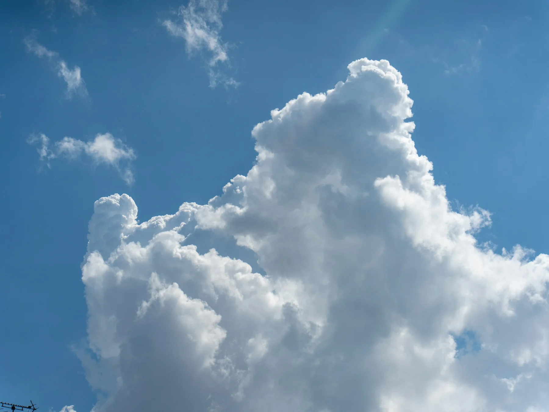
Clouds form when air cools
- Warm air can contain more water vapor at saturation than cold air.
- When unsaturated air cools enough, relative humidity rises.
- The dew point is the temperature at which air becomes saturated under a given moisture content and pressure.
- Cooling to the dew point allows condensation to begin.
- Rising air usually expands as atmospheric pressure decreases.
- Expansion causes the air parcel to cool.
- This is called adiabatic cooling.
- Mountains force air upward and can create clouds.
- Weather fronts also lift air.
- Surface heating can make buoyant air rise.
- Convergence can force air upward where winds meet.
- Cloud formation can therefore reveal invisible air motion.
- Descending air usually compresses and warms.
- Warming lowers relative humidity and can evaporate clouds.
- A cloud’s edge often marks the location where temperature and humidity cross a delicate saturation threshold.
Ten official cloud genera
- The ten WMO cloud genera are Cirrus, Cirrocumulus, Cirrostratus, Altocumulus, Altostratus, Nimbostratus, Stratocumulus, Stratus, Cumulus, and Cumulonimbus.
- Cirrus clouds are high, thin, and fibrous.
- Cirrocumulus clouds form small high-level ripples or patches.
- Cirrostratus creates a thin high veil.
- Altocumulus consists of middle-level rounded cloud elements.
- Altostratus forms a broad middle-level sheet.
- Nimbostratus produces widespread continuous precipitation.
- Stratocumulus forms low rolls, patches, or layers.
- Stratus is a low uniform layer.
- Cumulus clouds have detached puffy forms.
- Cumulonimbus is the thunderstorm cloud genus.
- A cloud belongs to one and only one genus at a given observation.
- Genera can be subdivided into species.
- They can also carry variety names and supplementary features.
- The system works a little like biological naming, but it classifies visible atmospheric forms rather than genetic relationships.
Cirrus can signal changing weather
- Cirrus clouds form high in the troposphere.
- They are composed mainly of ice crystals.
- Their wispy appearance comes from crystals falling through different winds.
- Strong winds aloft can stretch cirrus into long filaments.
- Some cirrus ends in hook-shaped tufts.
- Cirrus uncinus is a species with hook-like forms.
- High cirrus can appear hundreds of kilometers ahead of a weather front.
- Increasing cirrus can therefore signal changing weather.
- Cirrostratus can cover much of the sky with a thin ice-crystal veil.
- Sunlight or moonlight passing through cirrostratus can create halos.
- A 22-degree halo forms through refraction in hexagonal ice crystals.
- Not every high cloud produces a halo.
- Crystal shape and orientation matter.
- Jet aircraft can create contrails at cirrus altitudes.
- Persistent contrails can spread into cloud-like ice layers that affect incoming sunlight and outgoing heat.
Cumulus clouds reveal rising air
- Cumulus clouds often form from rising warm air called thermals.
- Sun-heated ground warms air near the surface.
- Buoyant parcels rise.
- As they rise, they cool.
- Condensation begins when they reach the lifting condensation level.
- This often creates a relatively flat cloud base.
- The puffy top marks continued upward growth.
- Cumulus humilis is a small fair-weather species.
- Cumulus mediocris shows moderate vertical development.
- Cumulus congestus grows much taller.
- Congestus clouds can produce showers.
- Strong continued growth may transform a cumulus into cumulonimbus.
- The cauliflower appearance of growing cumulus reflects vigorous convective turrets.
- Individual turrets may grow and evaporate within minutes.
- A time-lapse video makes cumulus clouds look like boiling atmospheric mountains because the air inside them is continuously moving.
Cumulonimbus clouds can tower above Everest
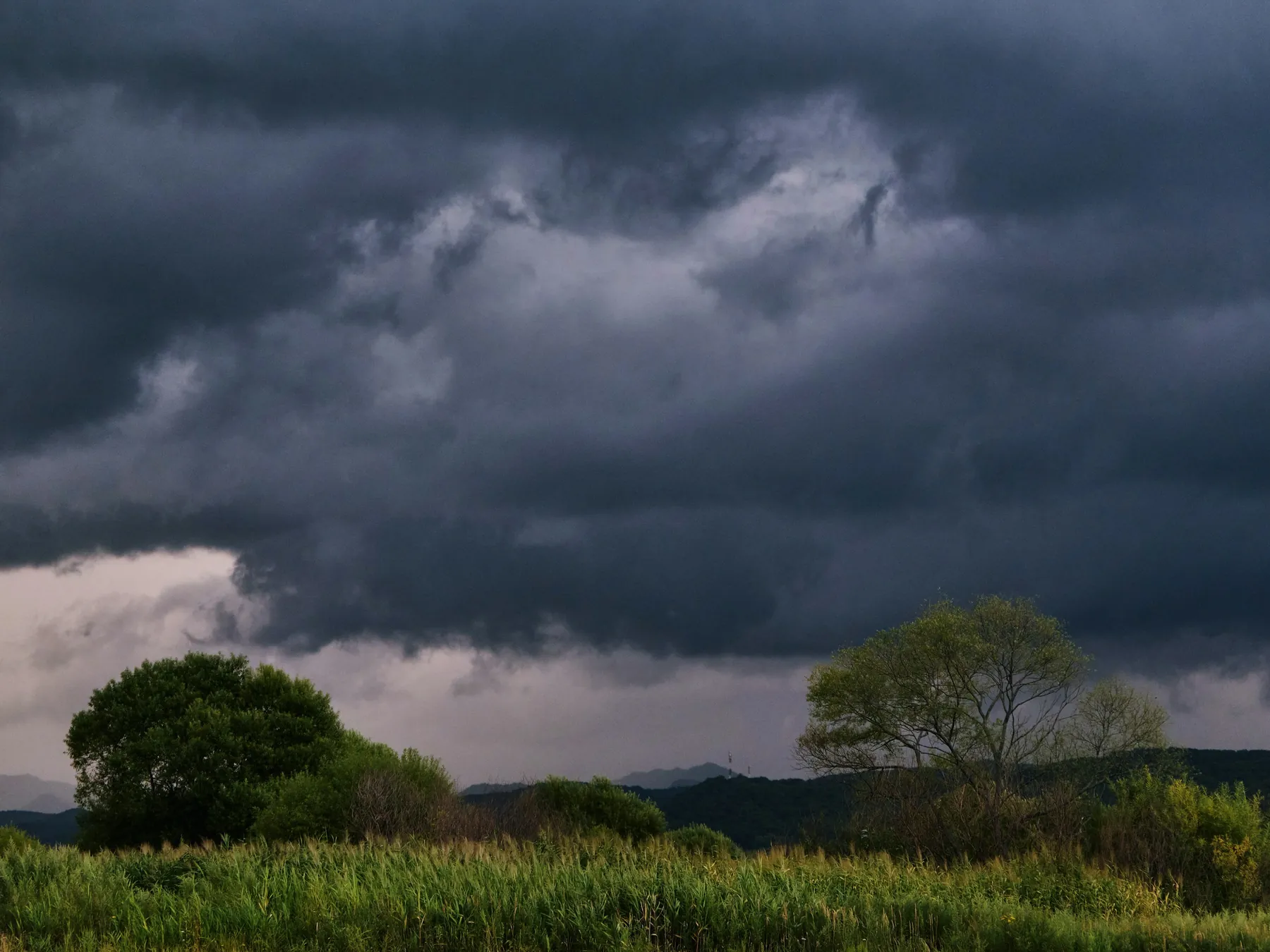
- Cumulonimbus is the cloud genus associated with thunderstorms.
- Strong updrafts can carry cloud particles many kilometers upward.
- Tropical thunderstorm tops can reach well above 15 kilometers.
- That is much higher than Mount Everest’s 8.85-kilometer summit.
- The top eventually approaches the stable tropopause.
- Rising air then spreads outward horizontally.
- This creates the familiar anvil shape.
- Strong overshooting tops can briefly punch above the anvil.
- Overshooting tops indicate intense updrafts.
- Cumulonimbus clouds can produce lightning.
- They can produce heavy rain.
- They can produce hail.
- They can generate damaging winds and tornadoes.
- Aircraft avoid penetrating severe thunderstorms because turbulence, hail, icing, lightning, and wind shear can be dangerous.
- A single thunderstorm cloud is a vertical weather system transporting heat, moisture, ice, momentum, and electric charge through much of the troposphere.
Clouds can contain liquid water below freezing
- Liquid water does not always freeze immediately at 0°C.
- Tiny cloud droplets can remain liquid well below freezing.
- These are called supercooled droplets.
- They can persist because freezing usually needs a suitable ice-forming nucleus.
- Supercooled water is common in many clouds.
- When it strikes an aircraft, it can freeze onto surfaces.
- This creates aircraft icing.
- Ice changes the shape of wings.
- That can reduce lift and increase drag.
- Modern aircraft use anti-icing and de-icing systems.
- Mixed-phase clouds contain both ice crystals and supercooled liquid droplets.
- Ice crystals can grow at the expense of liquid droplets under favorable conditions.
- This process helps create precipitation.
- Cloud microphysics therefore involves different phases of water coexisting at the same temperature.
- A cloud that looks soft from the ground can contain an invisible mixture capable of coating an aircraft with dangerous ice.
Why clouds do not fall all at once
- Cloud droplets are tiny.
- Their terminal fall speeds are extremely low.
- Even gentle air currents can keep them suspended.
- Clouds still contain enormous total amounts of water.
- A typical small cumulus cloud can contain hundreds of metric tons of liquid water.
- That mass is distributed through a huge volume of air.
- The average liquid-water concentration may be only a fraction of a gram per cubic meter.
- Droplets must grow much larger before they can fall efficiently as rain.
- In warm clouds, droplets collide and merge through coalescence.
- Large drops fall faster and collect smaller ones.
- In cold clouds, ice crystals can grow and aggregate.
- Snowflakes may melt into raindrops before reaching the ground.
- Some precipitation evaporates before reaching the surface.
- Falling streaks that evaporate aloft are called virga.
- A cloud does not “hold up” water through magic; its particles are simply tiny enough for atmospheric motion to dominate their slow settling.
Lenticular, mammatus, and other dramatic shapes
- Lenticular clouds form in atmospheric waves, often near mountains.
- They can resemble smooth lenses or flying saucers.
- Air flows through a lenticular cloud even when the cloud appears almost stationary.
- Condensation forms on the rising side of the wave.
- Evaporation occurs on the descending side.
- Mammatus clouds contain rounded pouch-like features hanging beneath a cloud.
- They are often associated with cumulonimbus anvils but can occur with other cloud types.
- Mammatus does not automatically mean a tornado is occurring.
- Kelvin-Helmholtz wave clouds resemble breaking ocean waves.
- They form where wind speed changes sharply with height.
- Hole-punch clouds can form when supercooled droplets freeze after disturbance by aircraft.
- The resulting ice crystals fall from a circular or elongated gap.
- Pyrocumulus clouds can form over intense wildfires or volcanic heat sources.
- Extremely vigorous fire-driven convection can produce pyrocumulonimbus thunderstorms.
- The cloud atlas includes special cloud names showing that human activity, fires, waterfalls, and other processes can become part of formal cloud classification.
Ten surprising cloud facts
- The WMO recognizes exactly ten cloud genera.
- A small cumulus cloud can contain hundreds of tons of water.
- Clouds stay aloft because their individual droplets fall very slowly.
- Liquid cloud droplets can remain unfrozen far below 0°C.
- Some thunderstorm tops rise much higher than Mount Everest.
- Lenticular clouds can look stationary while air continuously flows through them.
- Mammatus clouds do not automatically signal a tornado.
- Aircraft can create hole-punch clouds and persistent contrails.
- Wildfires can generate thunderstorms called pyrocumulonimbus clouds.
- For more sky trivia, explore our lightning facts, rainbow facts, and Science facts.
Quick cloud FAQ
What are clouds made of?
Tiny liquid-water droplets, ice crystals, or mixtures of both suspended in the atmosphere.
How many types of clouds are there?
The World Meteorological Organization recognizes ten main cloud genera, with additional species, varieties, supplementary features, and special clouds.
Why do clouds float?
Individual droplets and ice crystals are extremely small and fall slowly, so even modest upward and turbulent air motion can keep them suspended.
Can clouds be below freezing and still contain liquid water?
Yes. Supercooled liquid droplets can remain unfrozen well below 0°C until they encounter suitable freezing nuclei or surfaces.
Which cloud makes thunderstorms?
Cumulonimbus, a deeply developed convective cloud capable of producing lightning, heavy rain, hail, strong wind, and sometimes tornadoes.

Ellie is the owner and sole author of Fun Facts, combining her mechanical engineering background with years of research-driven writing to deliver facts you can trust. Every article is thoroughly fact-checked and routinely updated as new science and sources emerge to keep information accurate and current. Her mission is to make learning delightful while upholding high standards of reliability and transparency.