
Washington State gets stereotyped as Seattle rain and coffee, which ignores volcanoes, desert sagebrush, temperate rain forests, apple orchards, ferries, islands, glaciers, aerospace factories, tribal nations, giant dams, tech companies, and a coastline where an orca sighting can completely derail everyone’s afternoon plans.
Washington basics from the Evergreen State
- Washington became the 42nd U.S. state on November 11, 1889.
- Olympia is the state capital.
- Seattle is Washington’s largest city.
- Washington has 39 counties.
- The postal abbreviation is WA.
- The official nickname is the Evergreen State.
- The nickname reflects the state’s extensive conifer forests.
- Washington is the only U.S. state named for a president.
- It honors George Washington.
- Washington, D.C., is on the opposite side of the country and is not part of the state.
- The state borders Oregon and Idaho.
- British Columbia, Canada, lies to the north.
- The Pacific Ocean forms the western edge.
- Most of Washington uses Pacific Time.
- Mount Rainier is the highest point in the state.
- It rises 14,410 feet above sea level.
- Washington contains climates ranging from wet coastal rain forest to dry interior shrub-steppe.
- The Cascade Range creates a major climatic divide.
- Western Washington is generally wetter than the east.
- Calling the whole state “rainy” is a good way to make someone from Yakima immediately start correcting you.
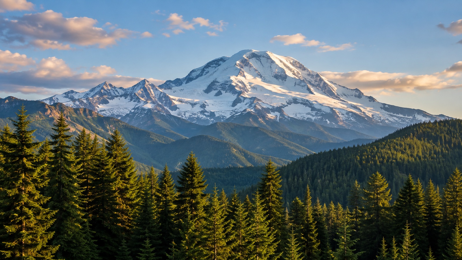
Volcanoes define the Cascade skyline
- Washington lies within the volcanically active Cascade Range.
- The Cascades formed above a subduction zone where oceanic crust moves beneath North America.
- Mount Rainier is an active stratovolcano.
- It is heavily covered by glaciers and permanent snowfields.
- Mount Rainier holds more glacial ice than any other peak in the contiguous United States.
- Lahars are one of Rainier’s major hazards.
- A lahar is a fast-moving volcanic mudflow containing water, rock, and debris.
- Several populated river valleys lie along ancient lahar paths.
- Mount St. Helens erupted catastrophically on May 18, 1980.
- The eruption followed a major earthquake and collapse of the volcano’s north flank.
- The landslide was one of the largest in recorded history.
- The lateral blast devastated forests over a wide area.
- Fifty-seven people died in the eruption.
- Mount St. Helens lost more than 1,000 feet of summit elevation.
- The volcano later built a new lava dome inside its crater.
- Mount Baker is another active Washington volcano.
- Glacier Peak is one of the state’s more remote active volcanoes.
- Mount Adams is a massive volcano in southern Washington.
- Washington has extensive volcano-monitoring networks.
- The mountains are beautiful enough that residents have collectively agreed to live beside several geology warnings with excellent views.
Rain forests, islands & inland deserts share one state
- Olympic National Park occupies a large part of the Olympic Peninsula.
- The park protects mountains, coastline, forests, and river valleys.
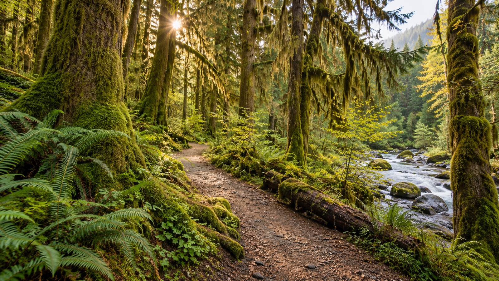
- The Hoh Rain Forest is one of America’s best-known temperate rain forests.
- Its giant trees are covered with mosses, lichens, and ferns.
- Some Olympic Peninsula locations receive more than 100 inches of precipitation annually.
- The northeastern Olympic Peninsula sits in a rain shadow and is much drier.
- Washington’s Pacific coast includes sea stacks, beaches, headlands, and tide pools.
- The San Juan Islands lie between mainland Washington and Vancouver Island.
- The archipelago includes hundreds of islands and rocks.
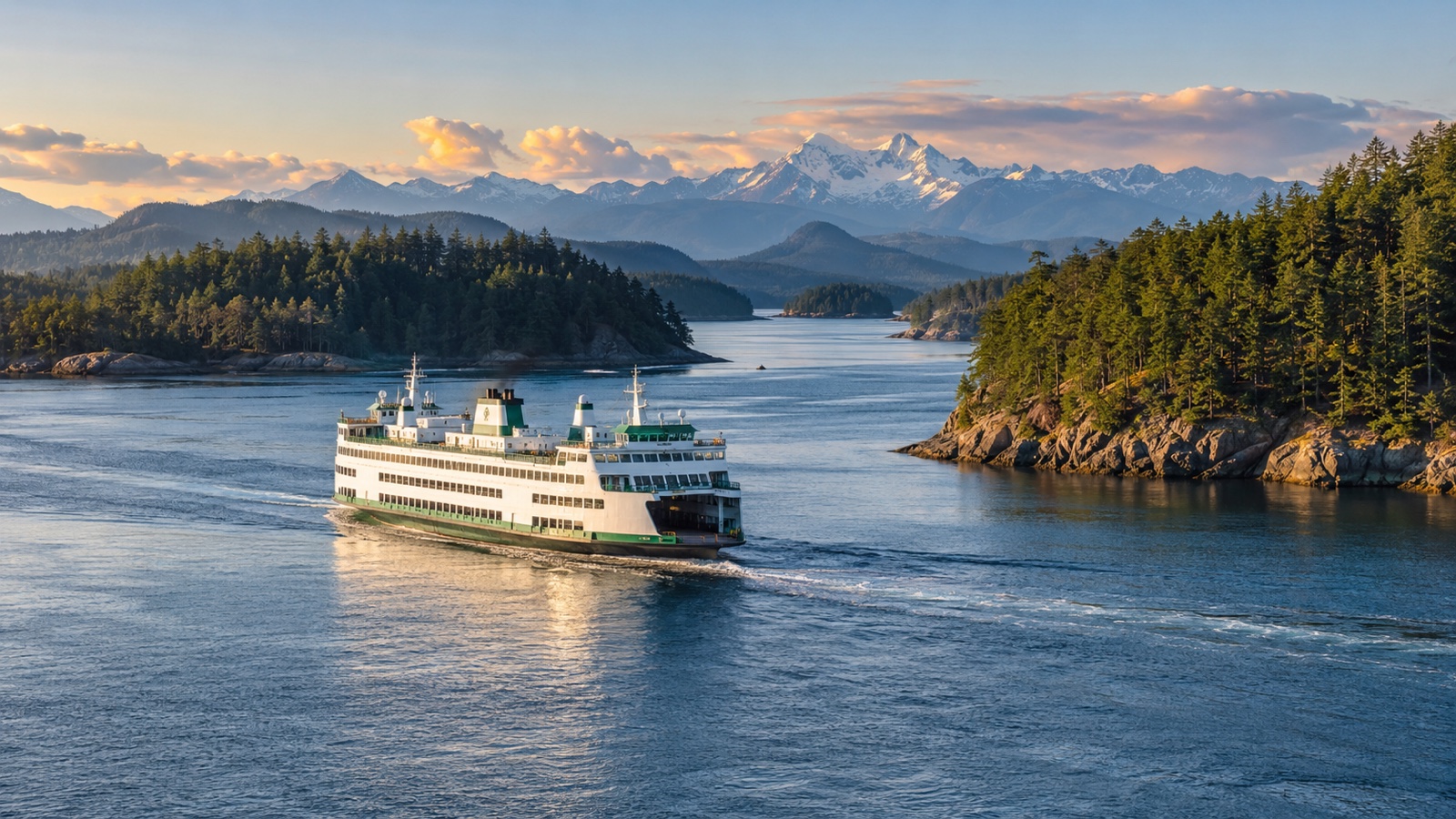
- Washington State Ferries operates one of the largest ferry systems in the United States.
- Ferries function as public transportation for island and peninsula communities.
- Puget Sound is a complex system of waterways connected with the Salish Sea.
- The Salish Sea includes Puget Sound, the Strait of Georgia, and the Strait of Juan de Fuca.
- Eastern Washington lies in the rain shadow of the Cascades.
- Large areas east of the mountains are semi-arid.
- The Columbia Basin supports irrigated agriculture.
- Dry shrub-steppe habitat covers large parts of central Washington.
- The Channeled Scablands were carved by enormous Ice Age floods.
- Those floods burst from glacial Lake Missoula in what is now Montana.
- Washington can honestly contain mossy rain forest and desert coulees on the same weekend itinerary.
Tribal nations and the Salish Sea predate the state by millennia
Washington’s rivers, salmon runs, cedar forests, and coastal waters were homelands and trade networks long before the state existed. Tribal nations remain sovereign governments today, and treaty fishing rights continue to shape conservation, law, and everyday life around the region.
- Washington is home to many federally recognized tribal nations.
- Coast Salish peoples have deep connections with Puget Sound and the Salish Sea.
- The Makah Nation is based on the far northwestern Olympic Peninsula.
- The Quinault Indian Nation has lands on the western Olympic Peninsula.
- The Yakama Nation has a large reservation east of the Cascades.
- The Colville Confederated Tribes represent several Indigenous peoples of the interior Northwest.
- The Spokane Tribe is based in eastern Washington.
- The Lummi Nation is based near Bellingham.
- The Tulalip Tribes are based north of Seattle.
- The Puyallup Tribe is based around the Tacoma area.
- Treaties signed during the 1850s reserved fishing rights for several western Washington tribes.
- Those treaty rights became central to major 20th-century court cases.
- The Boldt Decision of 1974 affirmed treaty tribes’ rights to a substantial share of harvestable fish.
- Salmon are central to the cultures and economies of many Washington tribes.
- Western red cedar is another deeply important material for houses, canoes, baskets, clothing, art, and ceremony.
- Indigenous place names survive throughout Washington.
- Seattle itself was named for Chief Si’ahl, a leader connected with the Duwamish and Suquamish peoples.
- Tribal governments operate schools, fisheries, health programs, businesses, cultural centers, and natural-resource departments.
- Salmon recovery increasingly requires coordination among tribes, states, federal agencies, and communities.
- Washington’s “natural resources” are also cultural relationships with histories far older than the state government.
Seattle helped reshape aviation, coffee, music & technology
- Seattle grew as a port, timber, fishing, and trade center.
- The Klondike Gold Rush helped expand Seattle’s economy in the late 1890s.
- Many prospectors bought supplies in Seattle before traveling north.
- Boeing was founded in Seattle in 1916.
- The company became one of the world’s most important aircraft manufacturers.
- Boeing’s large commercial-aircraft facilities remain centered in the Puget Sound region.
- The Boeing Everett Factory is one of the world’s largest buildings by volume.
- Microsoft was founded in New Mexico but moved to the Seattle area in 1979.
- Microsoft’s headquarters are in Redmond.
- Amazon was founded in the Seattle area in 1994.
- Its growth transformed parts of Seattle’s economy and skyline.
- Starbucks opened its first store near Seattle’s Pike Place Market in 1971.
- The original Starbucks location moved from its first address to the nearby Pike Place storefront tourists know today.
- Seattle coffee culture includes far more independent cafés than Starbucks alone.
- Grunge music emerged from the Seattle region during the late 1980s and early 1990s.
- Nirvana, Pearl Jam, Soundgarden, and Alice in Chains all became internationally famous.
- Jimi Hendrix was born in Seattle.
- The Museum of Pop Culture occupies a dramatic building near Seattle Center.
- The Space Needle was built for the 1962 World’s Fair.
- Seattle managed to turn airplanes, software, espresso, distorted guitars, and a flying-saucer tower into one recognizable city identity.
Apples, cherries, wine & Columbia River power
Eastern Washington is why the state can pair rain-jacket stereotypes with orchards and vineyards. Irrigation turns dry valleys into enormous fruit-growing regions, while the Columbia River supplies transportation, habitat, recreation, and enough hydropower to make dams part of the landscape debate.
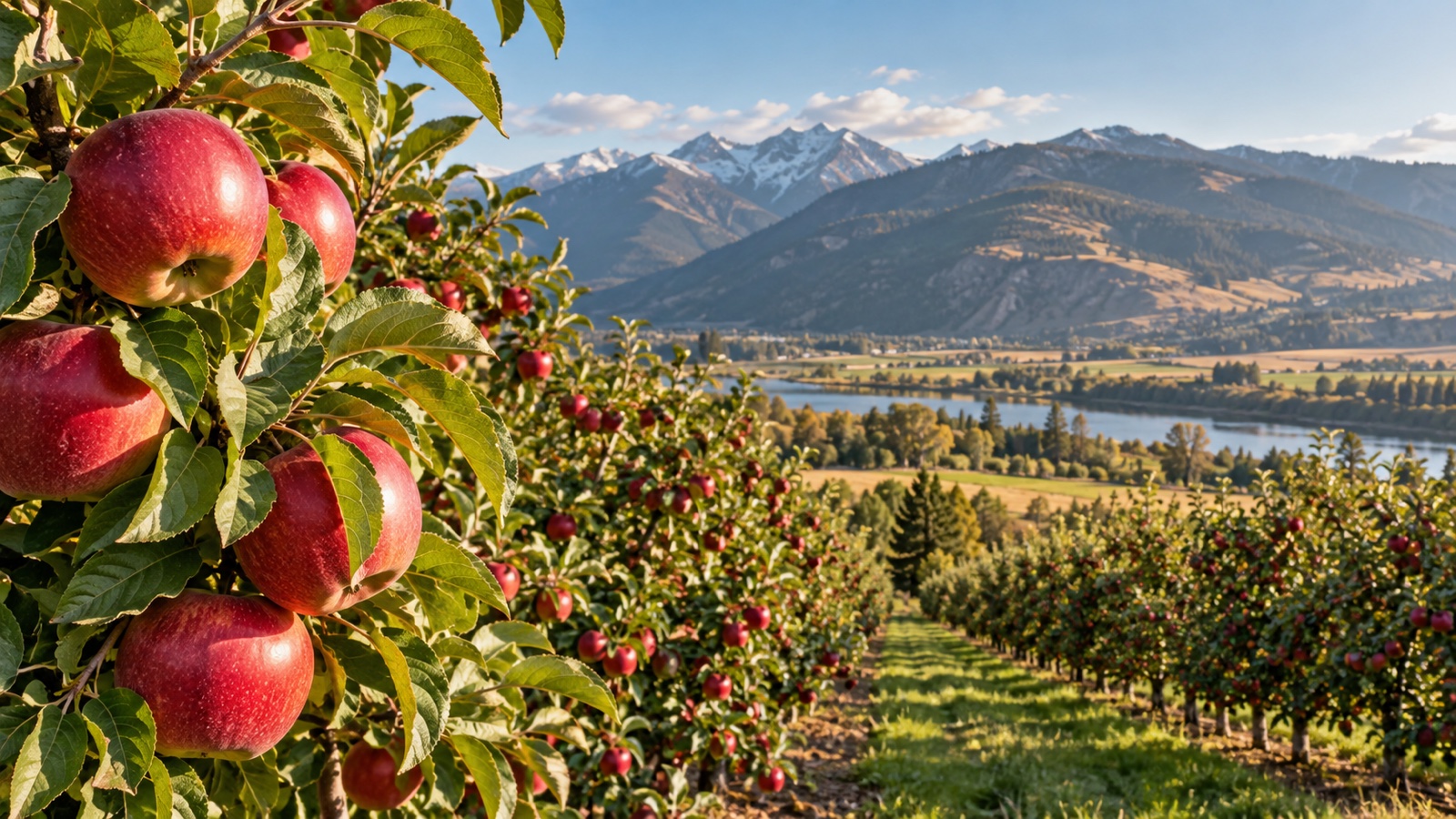
- Washington is the leading U.S. producer of apples.
- Central Washington’s dry sunny summers are excellent for orchards.
- Irrigation supplies water to many fruit-growing districts.
- Popular Washington apple varieties include Red Delicious, Gala, Fuji, Honeycrisp, and Cosmic Crisp.
- Cosmic Crisp was developed through Washington State University’s breeding program.
- Washington is also a leading U.S. producer of sweet cherries.
- Rainier cherries were developed at Washington State University.
- Their name honors Mount Rainier.
- Pears, hops, grapes, blueberries, and potatoes are other important crops.
- Washington is one of America’s largest wine-producing states.
- Most wine grapes are grown east of the Cascade Range.
- The Yakima Valley is a major wine and hop region.
- Washington is a major producer of hops used in brewing.
- The Columbia River forms much of the Washington-Oregon boundary.
- Grand Coulee Dam is one of the largest hydropower facilities in the United States.
- Dams on the Columbia system generate electricity and support irrigation.
- They also blocked or altered historic salmon migrations.
- Fish ladders help some salmon pass certain dams, but not every dam has effective passage.
- Debates over dams involve power, agriculture, tribal treaty rights, navigation, and salmon recovery.
- Washington can make one river simultaneously a power plant, shipping lane, fish highway, irrigation source, and political argument.
Orcas, ferries & 25 final Washington facts
- Southern Resident killer whales are a distinct endangered population found around the Salish Sea and Pacific Northwest.
- They primarily eat fish, especially Chinook salmon.
- They are genetically and culturally distinct from mammal-eating transient, or Bigg’s, killer whales.
- Orca family groups can maintain strong lifelong bonds.
- Washington’s state marine mammal is the orca.
- The state bird is the American goldfinch.
- The state flower is the coast rhododendron.
- The state tree is the western hemlock.
- The state fruit is the apple.
- The state vegetable is the Walla Walla sweet onion.
- Walla Walla is also famous for wine.
- Leavenworth reinvented its downtown with Bavarian-themed architecture during the 20th century.
- The town now hosts major seasonal festivals.
- Spokane is the largest city in eastern Washington.
- Expo ’74 in Spokane was the first environmentally themed world’s fair.
- The Grand Coulee and Dry Falls areas preserve evidence of Ice Age megafloods.
- Dry Falls is an enormous former waterfall complex with no modern river flowing over it.
- Washington’s state ferry system carries both vehicles and walk-on passengers.
- Ferry commuting is routine enough that an orca sighting can become the day’s unofficial transit announcement.
- Mount Rainier is visible from Seattle on clear days despite being dozens of miles away.
- Locals sometimes say “the mountain is out” when Rainier appears clearly.
- Olympia was selected as territorial capital before Washington became a state.
- Washington State University is in Pullman.
- The University of Washington is in Seattle.
- After 145 facts, Washington State still feels less like one climate and more like several states that agreed to share one spectacular mountain logo.
Quick FAQ
Q: What is Washington State famous for?
A: Mount Rainier, Seattle, volcanoes, rain forests, apples, ferries, aerospace, coffee, technology, Puget Sound, tribal nations, wine, and dramatic geographic diversity.
Q: What is the capital of Washington?
A: Olympia is the capital, while Seattle is the largest city.
Q: Is all of Washington rainy?
A: No. The Cascades create a rain shadow, so central and eastern Washington are much drier than the western side.
Q: Is Mount Rainier an active volcano?
A: Yes. It is an active stratovolcano monitored closely because of eruption, lahar, and glacier-related hazards.
Q: Why is Washington called the Evergreen State?
A: The nickname reflects the extensive evergreen conifer forests covering large parts of the state.

Ellie is the owner and sole author of Fun Facts, combining her mechanical engineering background with years of research-driven writing to deliver facts you can trust. Every article is thoroughly fact-checked and routinely updated as new science and sources emerge to keep information accurate and current. Her mission is to make learning delightful while upholding high standards of reliability and transparency.